Lehigh Valley Historical Maps Consortium launches a new website
Landing page of Historical Maps of the Lehigh Valley
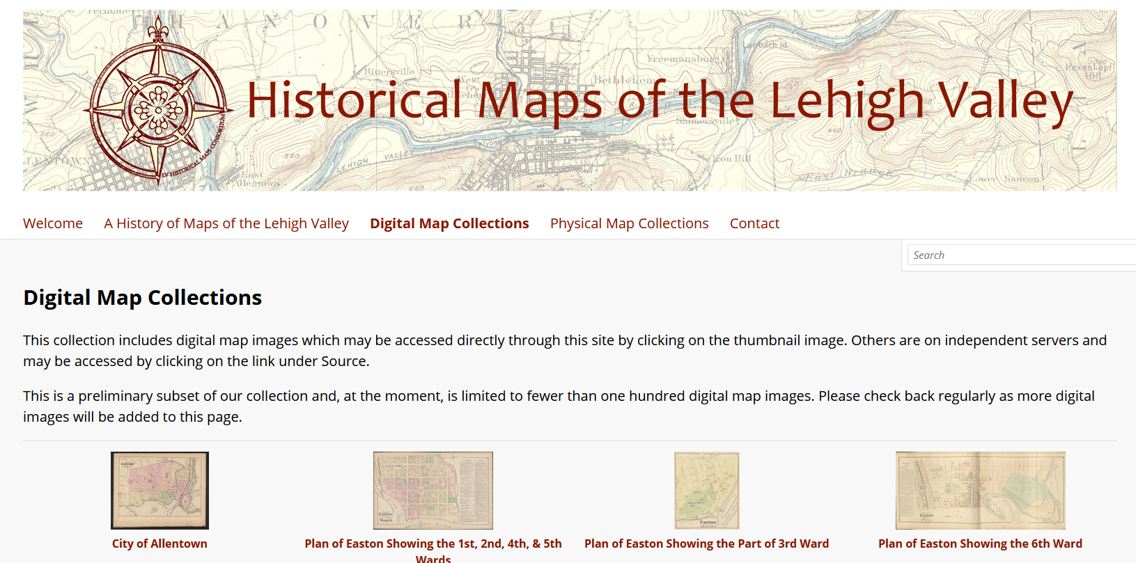
The Lehigh Valley Historical Maps Consortium, coordinated by Geospatial Services Librarian John Clark, announced the launch of a new website, “Historical Maps of the Lehigh Valley” on May 24, 2021. The website is designed to give anyone interested in the past and present of this region access to maps from the collections of local museums, college and university libraries, historical and genealogical societies, and public libraries. This website will be a platform for a growing collection of digital map images documenting the history of our area, as well as a centralized registry of the physical maps available for in-person research at area institutions. This site is sponsored in part by the Lehigh Valley Engaged Humanities Consortium, with generous support provided by a grant to Lafayette College from the Andrew W. Mellon Foundation.
Congratulations to John Clark as well as DSS staff Janna Avon and Adam Malantonio who made the site possible!